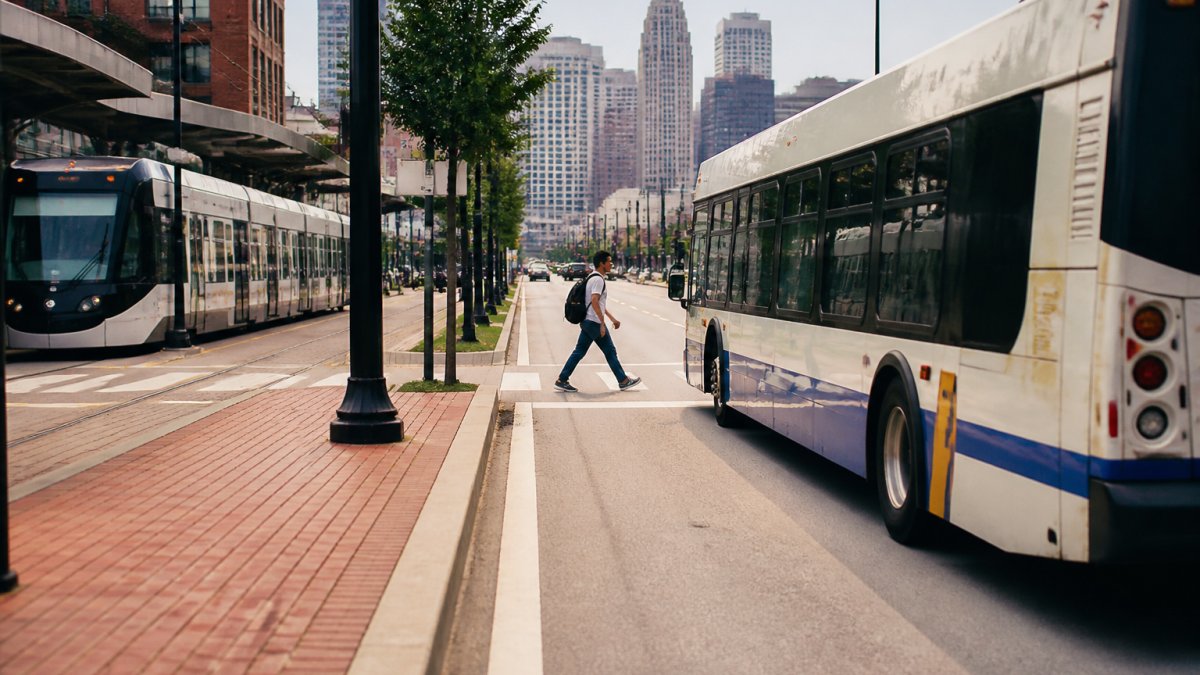
Last Updated: October 23, 2026
Quick Summary
You can get around without renting a car by combining public transit, rideshares, taxis, bike share, scooters, and walking, matching each leg of your trip to the cheapest mode that fits. Book lodging near a transit line or walkable district, since where you sleep decides how easily you move.
- Reserve rideshares for late nights, luggage, and destinations off the transit grid.
- If your must-sees sit more than a 20-minute walk apart, plan a transit or bike leg.
- Check step-free access and accessible ride options before committing to a mode.
- Solve the airport transfer first, then the rest of your car-free plan falls into place.
- Confirm the last train or bus time each night and set an alert on your phone.
Table of Contents
- Why Go Without a Rental Car?
- The Best Alternatives to Renting a Car
- Public Transportation for Tourists: Buses and Rail
- Getting From the Airport Without a Car
- Car-Free Trip Planning: A Step-by-Step Framework
- How to Get Around Without Renting a Car in Low-Transit and Rural Areas
- Safety, Luggage, and Late-Night Travel
- Conclusion
- Frequently Asked Questions
Why Go Without a Rental Car?
Learning how to get around without renting a car starts with one simple truth: in most American cities, a rental sits parked for hours while you pay for it.
The math rarely works in the rental's favor.
- Parking fees stack up fast in dense districts
- Rental insurance and fuel add hidden cost
- Garages eat time you could spend exploring
Skip the rental and you gain flexibility. You can hop off a train, walk two blocks, and change plans without circling for a spot.
The Best Alternatives to Renting a Car
The best alternatives to renting a car are rideshares, taxis, public transit, bikes, scooters, and your own two feet. Most trips combine two or three of these. The right mix depends on distance, weather, how much you're carrying, and whether anyone in your group has mobility needs.
Here's how the main options stack up, including what each one actually costs you in time and money.
| Option | Best For | Typical Cost Pattern | Watch Out For |
|---|---|---|---|
| Rideshare | Late nights, luggage, door-to-door trips | Per-trip fare plus booking fee; surges at peak hours and event let-out | Surge pricing can multiply the fare; wait times spike when crowds leave at once |
| Taxi | Airport runs, fixed fares | Metered or flat rate set by local regulation | Harder to hail outside downtown; some areas require a phone call |
| Bus and rail | Long hops, daily commuting | Flat fare per ride; day and multi-day passes lower the per-trip cost | Schedules thin out at night and on weekends |
| Bike share | Short trips, sightseeing | Unlock fee plus per-minute or per-hour charge; memberships cut the rate | Weather, hills, and limited basket space |
| Scooter | Last-mile gaps | Unlock fee plus per-minute charge | Limited cargo space; some cities restrict where you can ride or park |
| Walking | Neighborhood exploring | Free | Distance adds up fast, especially with bags |
| Car share | Occasional errands, rural stretches | Hourly or daily rate plus mileage and a membership fee | Requires a driver's license on file and advance booking |
Rideshares and Taxis
Rideshares win on convenience. You tap a button, a car arrives, and you get door-to-door service. That matters when you're hauling bags or heading out after dark.
Taxis still make sense for airport transfers and fixed-fare runs. Many cities regulate taxi fares, so the price is predictable.
A common mistake is relying on rideshares for every trip. Do that and the cost climbs past what a rental would have been.
Bikes, Scooters, and Walking
Bikes and scooters handle the last mile, the gap between a transit stop and your destination. Many cities run bike-share docks and app-based scooter rentals. You unlock, ride, and drop off.
Walking is free and shows you more. A walkable area puts food, music, and shops within a few blocks. Check a neighborhood map before you commit to a hotel.
Accessibility and Mobility Needs
Not every option works for every traveler, and the differences matter if you use a wheelchair, walker, or other mobility device. Before you commit to a mode, check three things:
- Step-free access. Look for elevators at rail stations and low-floor buses with ramps. Transit agency websites usually publish an accessibility page listing which stations are step-free.
- Accessible ride options. Major rideshare apps offer a wheelchair-accessible vehicle category in many metros, but availability varies by city and often requires a longer wait. Taxis in some cities include accessible vehicles; ask when you book.
- Walking limits. Map distances in minutes, not blocks, and build in rest stops. A neighborhood that looks compact on a map can be a long, hot walk with a mobility device.
A common pattern is to anchor the trip near a step-free transit line and use accessible rideshares only for the gaps. That combination covers most itineraries without a rental.
Public Transportation for Tourists: Buses and Rail
Public transportation for tourists is often the cheapest and most reliable way to cover distance.
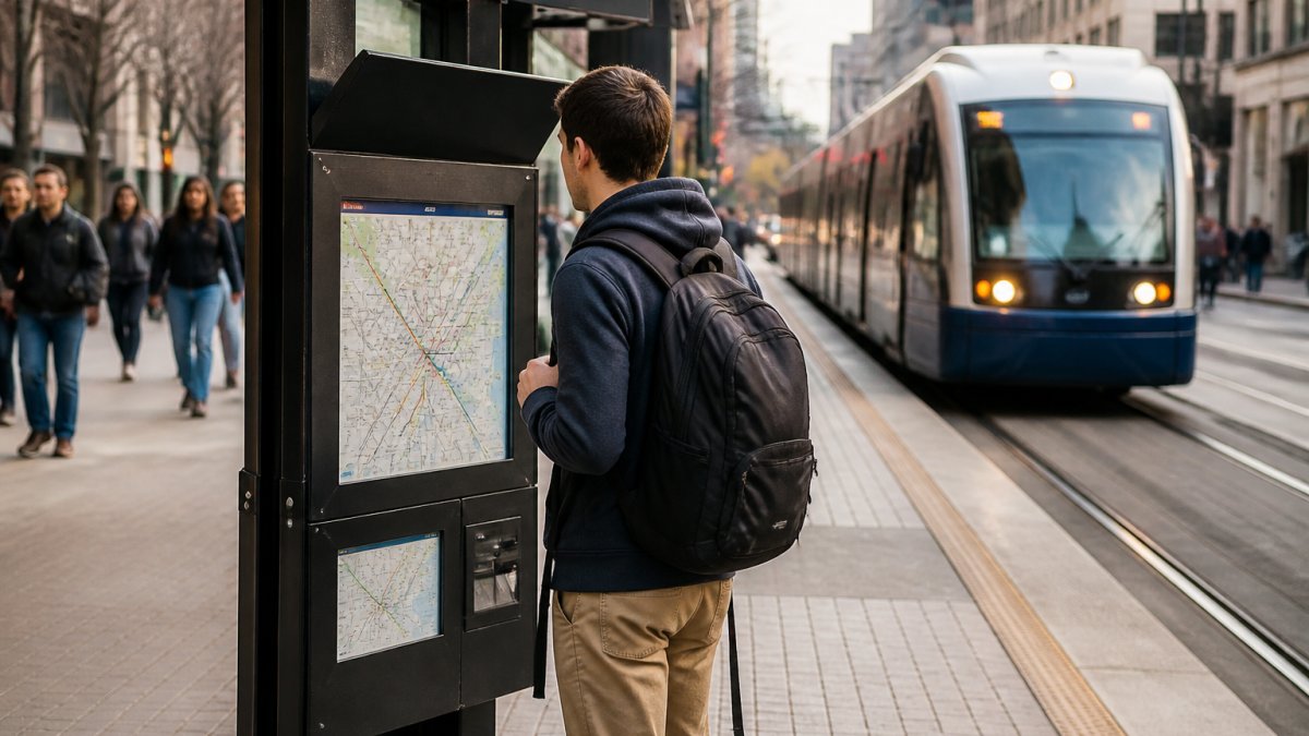
Start with the local transit system's app or website. Most agencies publish route maps, schedules, and a transit pass option. A day pass often beats paying per ride.
A few habits make transit easier:
- Load the transit app before you leave your hotel
- Check the last-train time before a late dinner
- Keep a card or phone ready for the fare
Rail beats buses for speed on long routes. Buses reach more neighborhoods. Use rail for the big hops and buses for the final stretch.
Getting From the Airport Without a Car
Getting from the airport without a car comes down to three choices: transit, shuttle, or rideshare. Check whether the airport connects to the rail or bus system first. Many larger airports run a train or bus line into the city center.
If transit doesn't reach your hotel, a shared shuttle or a rideshare fills the gap. A taxi rank outside baggage claim is the simplest option when you land late.
Plan the airport leg before you fly. Save the route, note the fare method, and confirm your hotel's nearest stop. That one step removes the stress of landing in a new city.
Car-Free Trip Planning: A Step-by-Step Framework
Car-free trip planning works best as a short sequence. Build the plan around where you sleep, what you'll see, and how you'll bridge the gaps. The framework below turns a list of modes into a decision you can actually make before you book.
Step 1: Pick a walkable base
Choose lodging near a transit line or a dense district. Where you sleep decides how easily you move. Before booking, open a map and check three things: the distance to the nearest rail or bus stop, the distance to your top two must-sees, and whether the blocks between them are walkable.
Step 2: Map your must-sees and group them
Plot every destination on a map, then cluster nearby stops into single days. Grouping by neighborhood means you're not crossing the city twice. A common pattern is to pick one district per day and walk the cluster, using transit only to get between districts.
Step 3: Match each leg to a mode
For each leg of the trip, ask four questions in order:
- How far is it? Under a 20-minute walk, walk. Longer, consider transit or a bike.
- Is there a transit line? If a bus or rail line connects the two points, use it for the long hop.
- What are you carrying? Bags or shopping push you toward a rideshare or taxi.
- What time is it? Late nights and early mornings favor a rideshare or taxi when transit is thin.
This order keeps costs down because it defaults to the cheapest mode that fits the leg, and only escalates when distance, cargo, or timing forces it.
Step 4: Fill the last mile
Use bikes, scooters, or a short rideshare for the gap between a transit stop and your destination. Check whether the local bike-share or scooter system has a dock or parking zone near your stop before you rely on it.
Step 5: Check the return leg
Confirm the last train or bus time each night, and set an alert on your phone. If transit stops before your plans end, budget for a rideshare home. That single backup keeps a good night from ending in a long walk.
Step 6: Build a backup and a cost ceiling
Save one rideshare option for weather or late nights, and set a rough daily transport budget before you go. Track what you spend on rideshares and passes for the first day or two; if rideshares are eating the budget, shift more legs to transit and walking.
This framework keeps costs down and cuts wasted travel time. Group stops by neighborhood so you're not crossing the city twice.
For deeper local picks on food, music, and neighborhoods, our guides pair well with this planning method.
How to Get Around Without Renting a Car in Low-Transit and Rural Areas
Rural areas and low-transit towns change the rules. When buses run twice a day and rail doesn't reach you, the plan leans on other tools.
- Book a shuttle or private transfer for long gaps
- Use car sharing or an hourly rental for a single day
- Ask your lodging about local taxi numbers
- Rent a bike where trails connect destinations
Car sharing and hourly rentals give you a car only when you truly need one. That keeps most of the trip car-free while covering the stretches transit can't.
In low-transit places, call ahead. Confirm a taxi or shuttle actually serves your route before you count on it.
Safety, Luggage, and Late-Night Travel
Safety and luggage decide whether a car-free trip feels easy or exhausting. A few small habits carry most of the weight.
- Keep bags light and on your lap on transit
- Sit near the driver or in a well-lit car on late rides
- Share your route with someone when traveling at night
- Wait for rideshares inside, not on an empty street
Late-night travel is where planning pays off. If transit stops early, budget for a rideshare home. That single backup keeps a good night from ending in a long walk.
Conclusion
Going car-free asks you to plan the hard legs first: the airport run, the late night, the rural stretch.
We build our guides around exactly this kind of practical planning. Our locally grounded recommendations cover neighborhoods, food, and music, so you can move through the city with confidence.
Start with our guides and plan a trip where the car stays optional.
Frequently Asked Questions
What is the cheapest way to travel without a car?
Walking is free, and public transit is usually the next most affordable option. A transit pass often costs less per day than a single rideshare trip. For longer stays, weekly or monthly passes lower the per-trip cost further. Bikeshare memberships can also beat per-ride pricing if you ride daily. Compare the pass price against your planned trips before you buy.
How do I plan a trip without renting a car?
Start by mapping your must-see destinations and checking whether they cluster in walkable areas or along transit lines. Book lodging near a transit hub or in a walkable neighborhood. Then layer in rideshares for gaps and airport transfers. Build a day-by-day route so you are not crisscrossing the city. A little upfront route planning saves time and fare money once you arrive.
How can I get from the airport to my hotel without a rental car?
Most airports offer a mix of public transit, shared shuttles, taxis, and rideshares. Check whether a rail or bus line connects the airport to the city center; this is often the cheapest option. Shared shuttles cost more than transit but less than a private taxi. Rideshares and taxis offer door-to-door service. Confirm pickup zones before you land, since many airports route rideshares to designated areas.
When should I use a rideshare instead of public transit?
Use a rideshare when transit does not reach your destination, when you are carrying heavy luggage, or when traveling late at night. Rideshares also make sense for short trips where a transit transfer would double your travel time. For daily commutes and long routes, transit is usually cheaper. Combining both modes, transit for the long leg and a rideshare for the last mile, often gives the best balance of cost and convenience.
